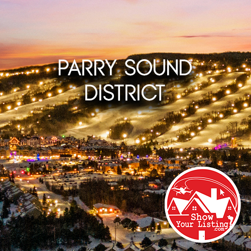
 Show Your Listing is your trusted partner for top-tier Real Estate Media services in Parry Sound District.
Parry Sound District has a rectangle shape that covers some 6978 square kilometers. The northern border runs east from the shore of Georgian Bay at the French river, then follows the French River into the south part of Lake Nipissing to about Callender Ontario where it turns south. From here it finds its way south, close to the border of Algonquin Park due west of Trout Creek Ontario. Continuing south it then runs parallel with the western boundary of Algonquin Park to a point where it meets the park border northwest of Kearney Ontario. From here it continues south to a point where it meets the northeastern border of the District of Muskoka at a point due east from Novar Ontario, just north of Tasso Lake, Highway 60, west of Huntsville Ontario. From here leading west it passes just below Novar Ontario which is also where you enter Ontario's Near North. Due west the southern district border continues west to a point approximately 9km north of Rosseau Ontario where it turns south again. Here it continues south into the north bay of Lake Rosseau where it divides it east and west. At a place on the opposite shore from Gull Rock in Lake Rosseau it turns west again and continues straight to the shore of Georgian Bay, west of Mactier and then Moon River Ontario.
Elevation of the district at the shore of Georgian Bay is about 177 meters above sea level and at it's east boundary with Algonquin Park it is just over 457 meters. About half the area of the district lies above 300 meters above sea level.
Total Active Listings in Parry Sound District: 0
No active listings found.
- All Active Listings (183)
- Grey County (88)
- Bruce County (67)
- Simcoe County (13)
- Huron County (5)
- uncategorized (3)
- Wellington County (3)
- Dufferin County (2)
- Manitoulin District (1)
- Regional Municipality Of Peel (1)